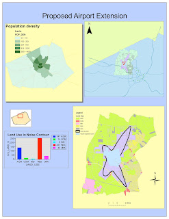
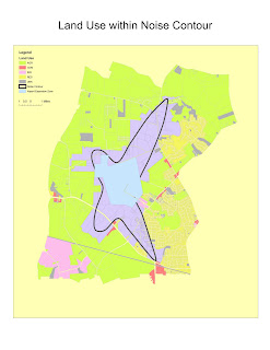
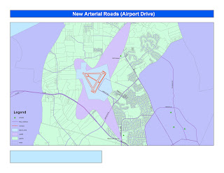
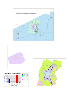
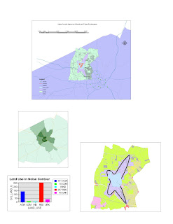

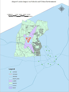
These Maps have been created for the Tutorial of ArcGis of week 4. ArcGis has a strong ability of showing data across space and organizing them into logical group layers and in form of correlations. The above images correspond to the intermediate steps of the Arc Gis 9 Tutorial.
Although it has been built with a pretty good programming architecture, the software still has some pitfalls or disadvantages in logical construction of maps and databases.
A first problem is the interaction with ArcCatalog and files memory. ArcCat is the ArcGis Database and data management dedicated software. In fact, Arc catalog is not designed for keeping links at the moment of moving files from and to different Hard drives or positions inside the same drive. A simple move made outside of the ArcCatalog frame can create chaos even if all the files are inside the same "last folder". The architecture can be fairly improved.
A general disadvantage and pitfall of GIS as they are organized, is the "dark face" of what could be considered also a point of power: Its organization in layers.
In fact, in reality discrete objects and group of data are usually given at the same level (except for vertical-based objects such as most of the soils, elevation, etc) and mixed simultaneously. Data frames and layers are unable to replicate this condition of simultaneous presence of different things in the same way, where the discrete objects are mixed up but still recognizable and not simply separated and independent from each other.
During my use of the software for the tutorial, I found very hard sometimes to manage all these multiple and different data frames and understanding how the software was managing them. When we have two or more data frames on the left bar, ArcGis was visualizing only the last of these frames into the visualization area. This may induce users to think that something went wrong whe creating data because the are not appearing.
Especially when dealing with raster, pixeled images, times of data calculation and elaboration could be very long. ArcGis requires a lot of memory and processing capacity also for one single project. Also, unless saving every step on a new file, it is very difficult to return back and undo the last steps when saved. An algorithm that saves automatically after every step but keeps the previous status of the project would be very useful for a better use and allow users saving a lot of time when making mistakes, which is very easy.
Exported Maps from Arc Gis are considerably heavier in size because they contain a lot of pixel information when given with a detailed resolution. There is as a result a high difference between information given in Vector data in GIS and the Raster/Pixel based outputs in other formats.
Moreover, in general ArcGis is a sofitware that requires considerable time spent of practice to memorize and develop proficiency with tools and understanding of the logic behind. This is something very different from the other technical questions, but still has a large impact on managing and using tools available because users to not understand the full potentials.
No comments:
Post a Comment